Mount Rainier National Park
- Location
- Washington
- Designation
- National Park
- Entrance fee
- $30 / vehicle
- Track it
- Free in Park'd
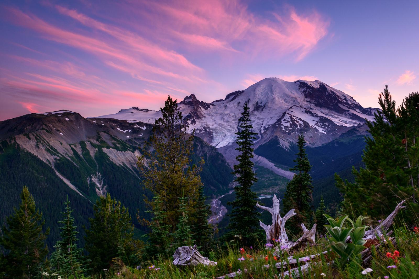
Ascending to 14,410 feet above sea level, Mount Rainier stands as an icon in the Washington landscape. An active volcano, Mount Rainier is the most glaciated peak in the contiguous U.S.A., spawning five major rivers. Subalpine wildflower meadows ring the icy volcano while ancient forest cloaks Mount Rainier’s lower slopes. Wildlife abounds in the park’s ecosystems. A lifetime of discovery awaits.
Things to do in Mount Rainier
Mount Rainier offers a range of activities for visitors in Washington:
When to visit & weather
Weather patterns at Mount Rainier are strongly influenced by the Pacific Ocean and elevation. The climate is generally cool and rainy, with summer highs in the 60s and 70s. While July and August are the sunniest months of the year, rain is very likely in spring, fall, and winter. Visitors should be aware that mountain weather is very changeable. In the higher elevations, like Paradise, winter can last from November to May with many feet of snow on the ground.
Getting to Mount Rainier
Mount Rainier National Park is located in west-central Washington state. Several major cities in Washington- Seattle, Tacoma, and Yakima- and Portland, Oregon, are within 200 miles of the park. For GPS to Nisqually Entrance use: 39000 State Route 706 E, Ashford, WA 98304.
Track your visit to Mount Rainier
Check Mount Rainier off your national parks passport, log the trails you hiked and the wildlife you spotted, and see it on your personal map — free on iPhone with Park'd.

Explore more national parks
Planning a bigger trip? Browse the full list of all 63 US national parks, or keep exploring: